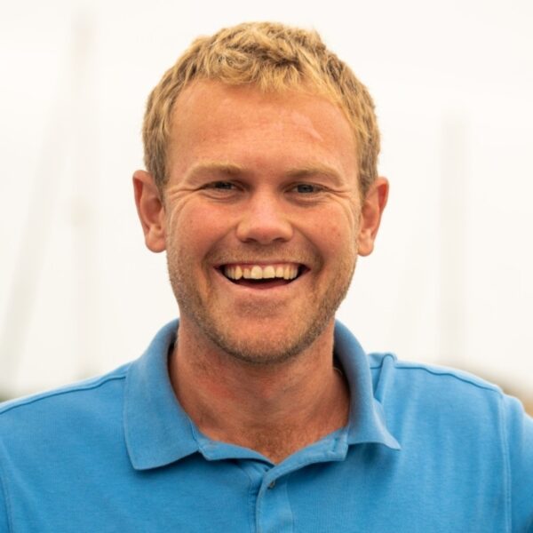
Arthur Platel is a PhD student working to develop new remote sensing methods to identify and map vegetation in Antarctica and the Subantarctic Islands. His research focuses on fusing high-resolution drone imagery with satellite data using machine learning to improve the spatial and temporal scale and accuracy of vegetation monitoring in these extreme environments. Arthur hopes his research will deepen our understanding and aid in the conservation of Antarctic ecosystems while advancing vegetation monitoring within the field of remote sensing.
Arthur holds a Bachelor’s degree in Earth Sciences (2011) and recently completed a Master’s in Data Science (2023), where he advanced his skills in programming, machine learning, and deep learning. Over the past three years, Arthur has worked at Planet Labs in California as a member of the Fusion R&D team. There, he developed a machine learning-based land-cover change detection algorithm to work on Planet imagery and contributed to a Leaf Area Index (LAI) product. Additionally, he has also worked on projects at NASA DEVELOP and the National Parks Service focused on vegetation change detection.
With a strong foundation in sensor fusion, machine learning, and programming, Arthur is dedicated to using his expertise to address climate change and support environmental conservation. He looks forward to collaborating with a distinguished team to conduct impactful research aimed at preserving Antarctica’s unique natural habitats.